My different research projects and work experience have enabled me to develop and enhance my skillset in various areas, including geospatial analysis, data science, business intelligence and systems engineering.
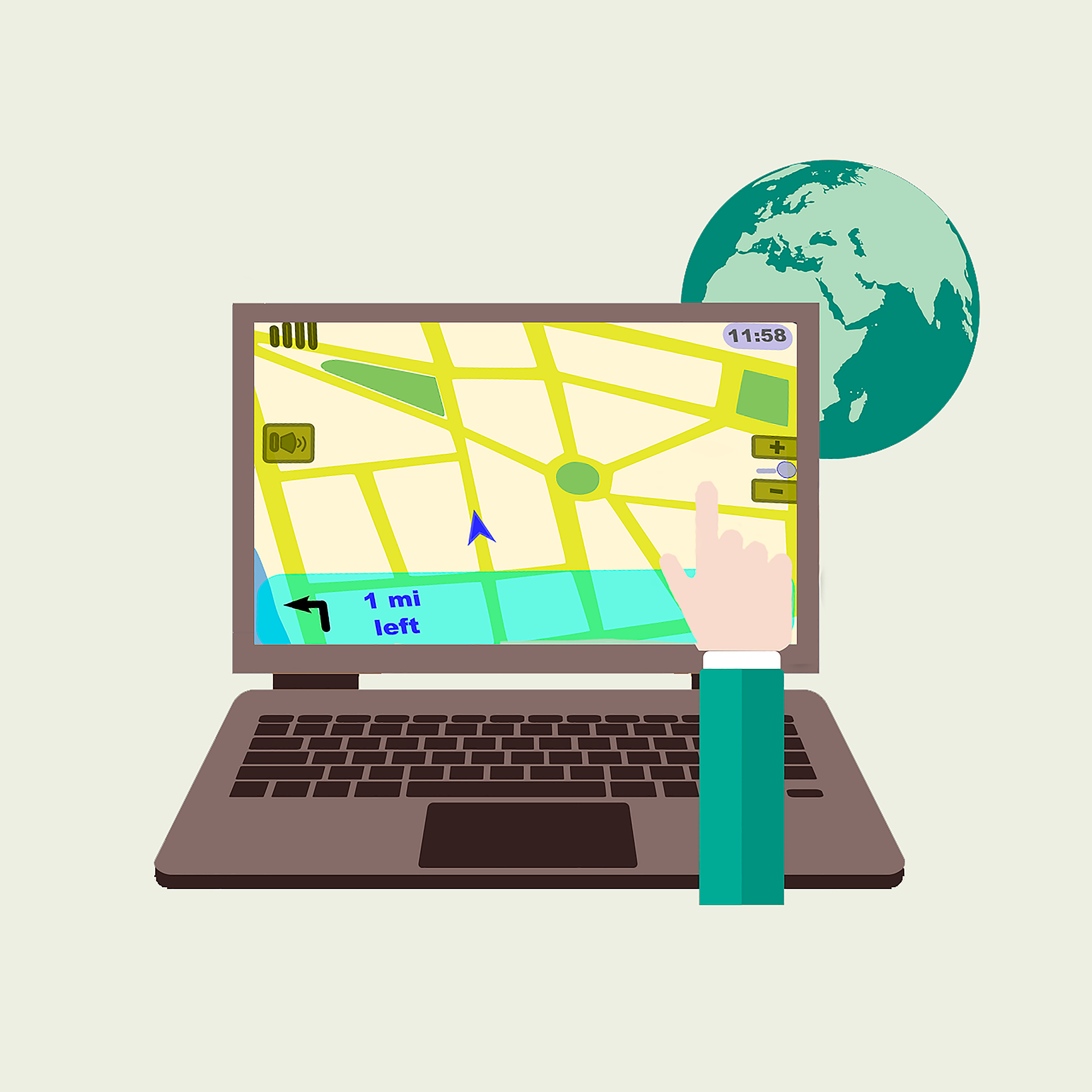
I have extensive experience working with the Esri product suite (ArcMap, ArcGIS Pro, ArcGIS Online). I also work with QGIS, Mapbox, Leaflet and Azure Maps, and open-source Python libraries (such as GeoPandas) for processing, analysing, and visualising spatial datasets.
Using data science techniques in Python and R, I have experience in extracting, transforming and analysing diverse datasets. I am familiar with various open data portals that offer REST API services as well as libraries and tools for managing heterogeneous data.
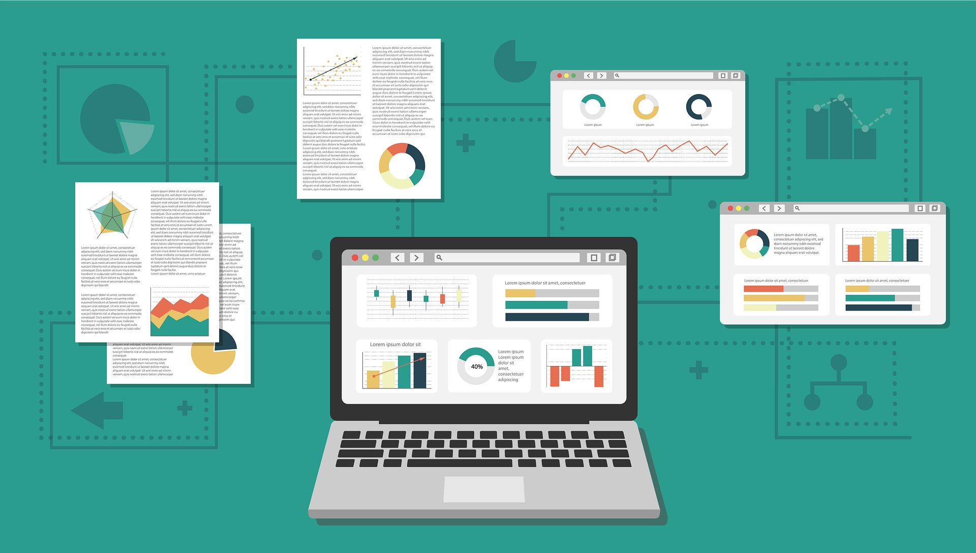
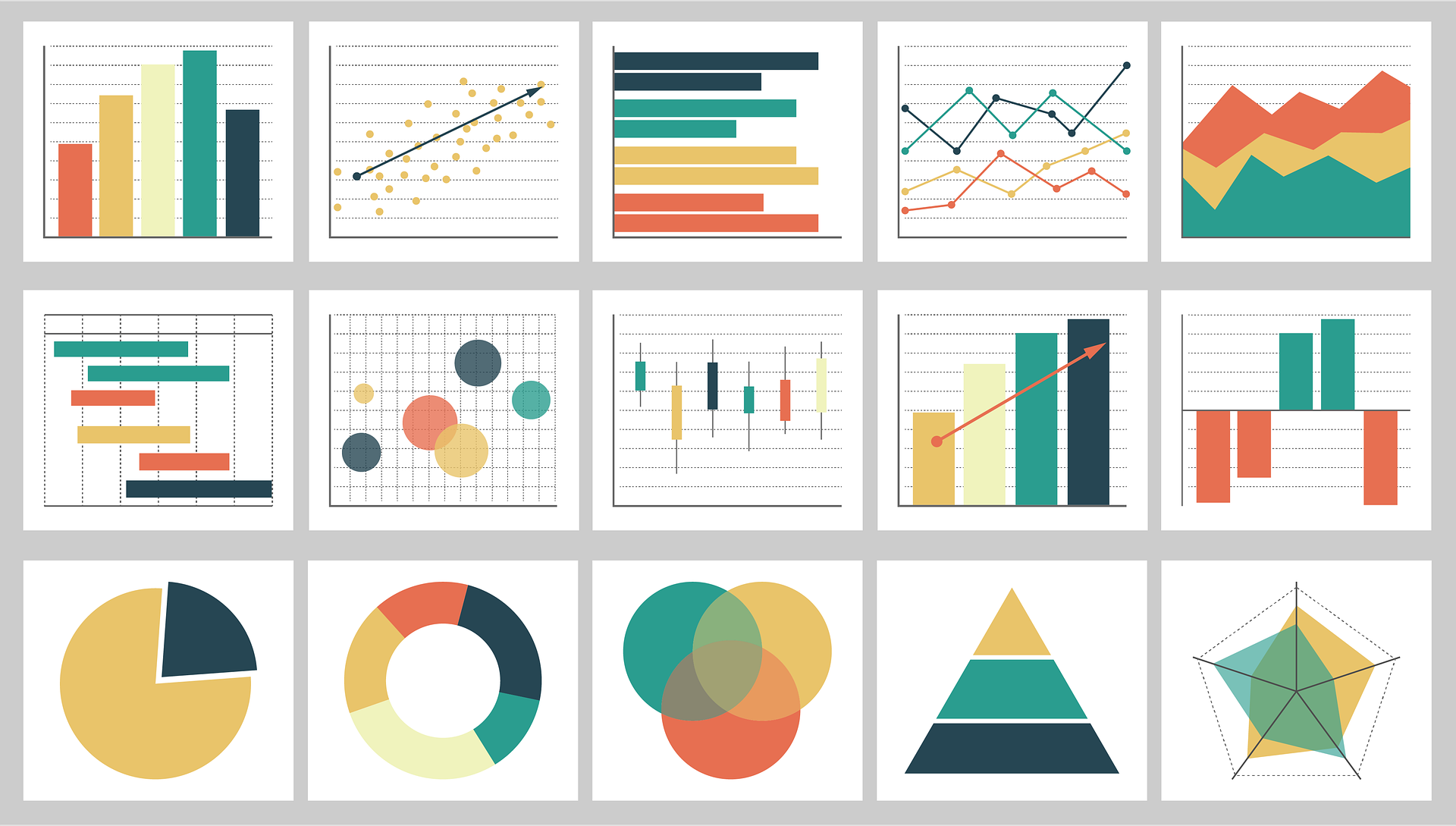
I have developed dashboards with Microsoft PowerBI, R Shiny and ArcGIS for stakeholders from different domains to present the most critical analysis results. Further, I have experience with business intelligence solutions such as Tableau, Qlik and IBM Cognos in industry projects.
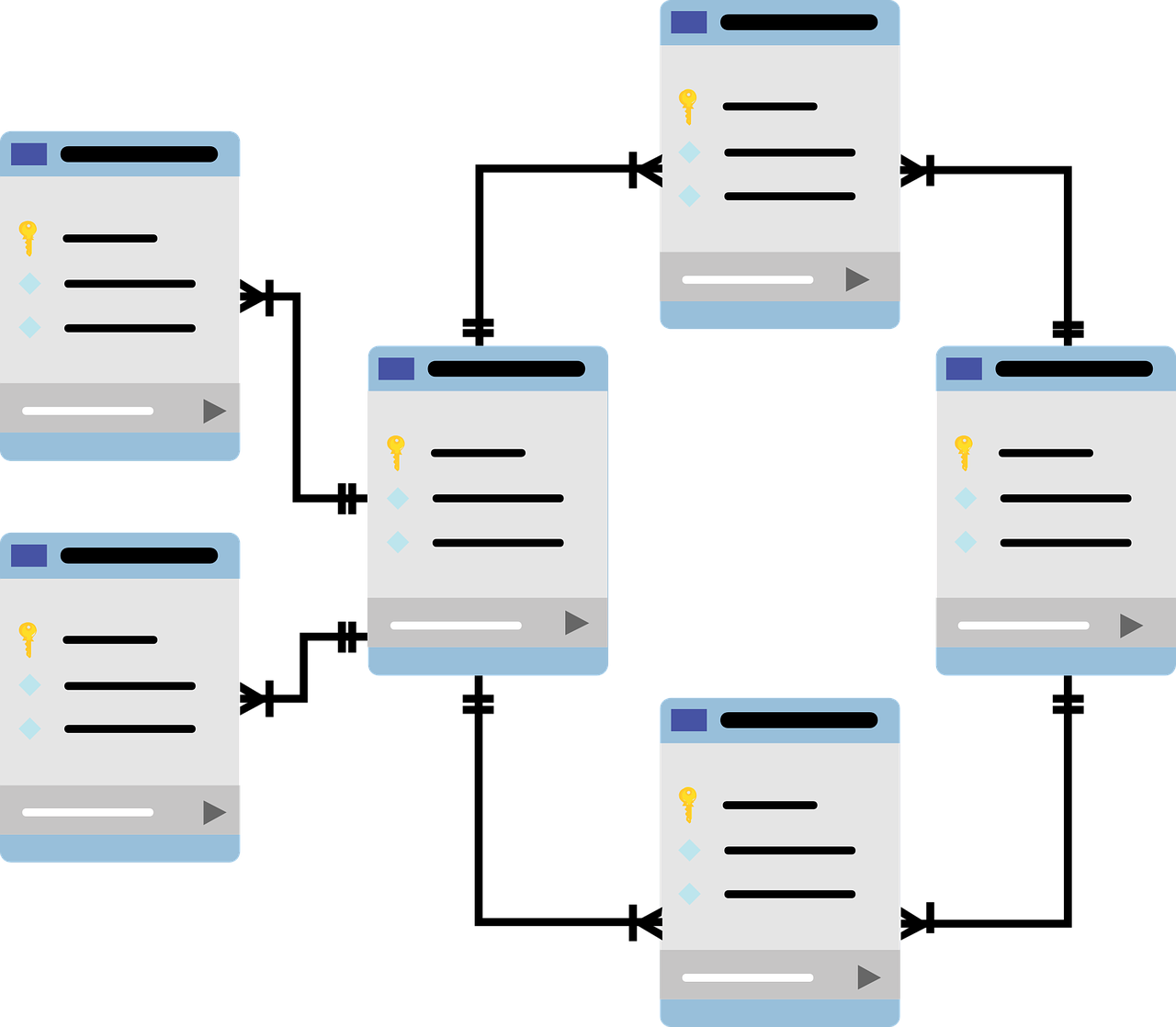
In both academia and industry, I have worked with various database solutions, using SQL and Python to query datasets to answer stakeholder questions from different perspectives. I have also worked as a teaching assistant in a Master's module on databases.
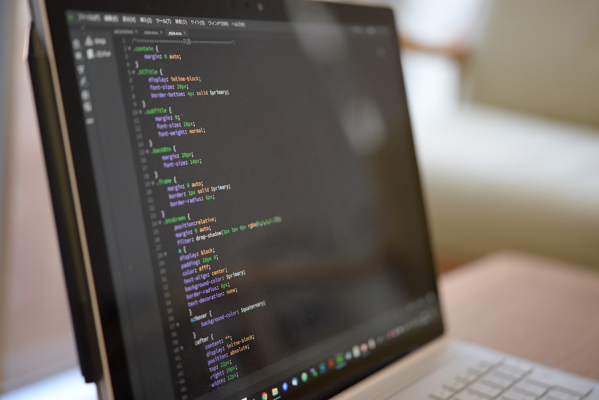
I am familiar with HTML, JavaScript and CSS to develop front-end solutions, such as different web applications. My recent development includes a web application using Microsoft Azure Maps that integrates real-world data on current traffic and incidents.

I have used machine learning algorithms (such as logistic regression, SVN, random forest, decision tree) to perform predictive analysis. Using Deep Learning CNN-based image classification, I analysed the impact of different resolutions on label predictions.

Lorem ipsum dolor sit amet, consectetur adipisicing elit. Mollitia neque assumenda ipsam nihil, molestias magnam, recusandae quos quis inventore quisquam velit asperiores, vitae? Reprehenderit soluta, eos quod consequuntur itaque. Nam.

Lorem ipsum dolor sit amet, consectetur adipisicing elit. Mollitia neque assumenda ipsam nihil, molestias magnam, recusandae quos quis inventore quisquam velit asperiores, vitae? Reprehenderit soluta, eos quod consequuntur itaque. Nam.

Lorem ipsum dolor sit amet, consectetur adipisicing elit. Mollitia neque assumenda ipsam nihil, molestias magnam, recusandae quos quis inventore quisquam velit asperiores, vitae? Reprehenderit soluta, eos quod consequuntur itaque. Nam.

Lorem ipsum dolor sit amet, consectetur adipisicing elit. Mollitia neque assumenda ipsam nihil, molestias magnam, recusandae quos quis inventore quisquam velit asperiores, vitae? Reprehenderit soluta, eos quod consequuntur itaque. Nam.

Lorem ipsum dolor sit amet, consectetur adipisicing elit. Mollitia neque assumenda ipsam nihil, molestias magnam, recusandae quos quis inventore quisquam velit asperiores, vitae? Reprehenderit soluta, eos quod consequuntur itaque. Nam.

Lorem ipsum dolor sit amet, consectetur adipisicing elit. Mollitia neque assumenda ipsam nihil, molestias magnam, recusandae quos quis inventore quisquam velit asperiores, vitae? Reprehenderit soluta, eos quod consequuntur itaque. Nam.